null

Thought Leadership


Month: January 2017

How To Process LiDAR Data – 3D Survey

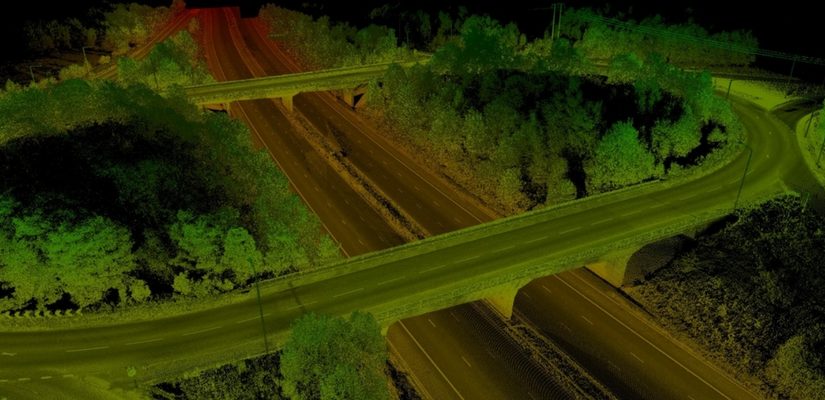
The use of lidar data processing has erupted in recent years, for many good reasons. The Lidar technology helped in producing higher-quality results than traditional photogrammetric techniques that cost low. Therefore, this has created a huge accomplishment to a large extent by the automatically collecting measurements very densely. The progress in laser scanning hardware has been astonishing.

One of the major side effects of switching to lidar-based technology is that it has many challenges in increasing the data volume and the development of software processing abilities required. Fortunately, there are many benefits offered by Lidar technology such as LiDAR Mapping Services, lidar data processing workflow, and Lidar 3D Scans.

Here are Some Tips that enable you to take Advantage of Lidar Data Processing.

1. Have Lidar in LAS Format

Having a lidar in LAS format can be visible to the admitted but not to the one who is new to using lidar data. LAS stand for Laser is the industry standard format for lidar. This helps in choosing the best format that works best.

2. Make Sure the LAS Files Are “Tempered” for Use in GIS

When you have to use LAS, a lot of things go on between initial data collection of LAS files a ready to use the file. Therefore, you can use LAS as there are many flavors out of which some are better than others for use in GIS.

3. Consider Your Options

Look for a company that provides several complimentary options for accessing lidar. Basically, there are three primary data access tools: the LAS dataset, the region dataset, and the mosaic dataset. Therefore, if you will learn about them you will get a better idea to determine which one is for use.

4. Stage Data Appropriately

Lidar data is quite large and requires careful planning to avoid producing a network to its knees or making users wait for long to display.

Therefore, if you have to determine the best overall approach, make sure you get your questions and queries solved. Questions such as – How large is the dataset? And will the whole lidar samples process in order to ad-hoc queries?

Importance of Geo referencing for the Mapping Data

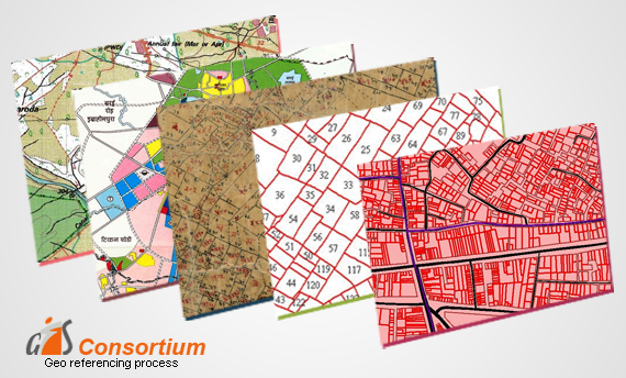
Geo referencing can be understood as the process of conveying real coordinates to the spatial data. It assigns coordinates to the pixels of raster images. Common frames and coordinate systems are developed to define the positions within the information. It helps in determining how the areas in an image correspond to the surface. When you know about the coordinates of points given in the images, you can match these points to those on the charts.

Techniques for Referencing the Data:

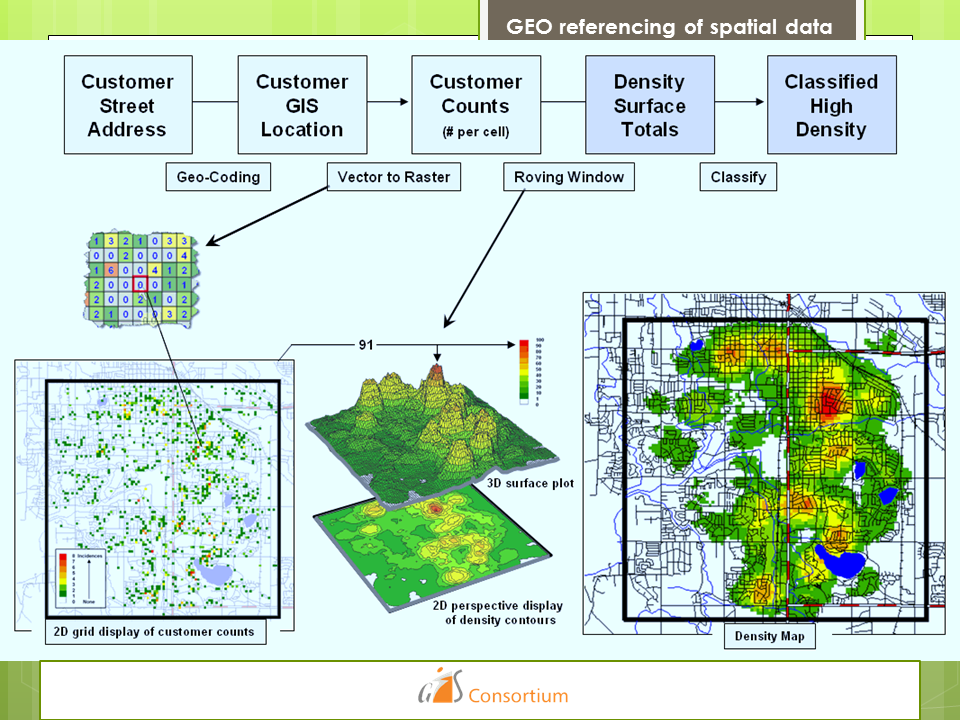
The geo referencing of spatial data can be done through two main methods. Firstly, you can use 3D coordinates in which the center of earth serves as the point of origin of all 3 axes. It is a popular method for scientific applications but it is not considered feasible for applying to the points on earth’s surface.

The second method is the projection of the points. In this method, 3D coordinates are expressed as a plane with some height above them. This technique helps in flattening the curved area of a small region into a flat surface for referencing purposes. The plane coordinates point towards a particular point within the projection. It is measured in terms of distances, north and east from the origin.

GEO referencing of spatial data

The Height Measurement:

To understand the uses of geo referencing for mapping data via projection method, it is important to understand the measurement of heights. Typically, the heights are measured from the sea level. However, this method lacks accuracy because sea levels are consistently changing. It increases the complexities and costs of referencing.

There is another metric called Ellipsoid that has approximate values conforming to the sea levels. The local referencing systems differ for every local mapping agency. However, calculating the multinational data can be difficult due to cross-border convergences.

Also, it depends on the quality of devices, type of terrain, incline, shooting altitudes, and many other factors.

Scroll Up