India is the land of unity and diversity with abundant world heritage sites, scenic beauty and rich culture making it a popular tourist destination. The tourism industry in India generated US$240 billion in 2018, which amounted to 9.2 percent of the India’s GDP. The industry supports over 42.673 million jobs, which makes 8.1 percent of the total employment of the country.
Tourism boards, once a forgotten resource are now using the power of the internet to persuade potential tourisms worldwide. Different social media sites have become a powerful tool which when implied carefully can have a major impact on tourism. E-tourism has completely revolutionized the way the holidays are researched and planned.
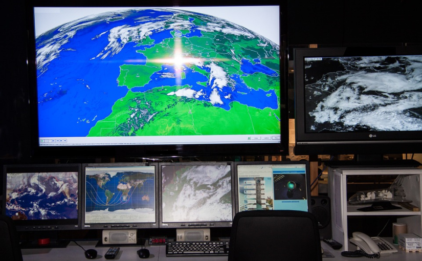
A Geographical information system (GIS) is used to record, store, edit, analyse and even reproduce geographical or spatial data. It uses layered data where each layer represents one form of spatial data for example, forest layer, street layer, vegetation layer and many others. All these layers are then combined together to form an integrated layer that consist all the data. It acts as a tool to analyse spatial data and assist in creating a robust decision support system for organizations. GIS has been slowly paving its way to numerous applications such as landslide hazard mitigation, village information system, and election mapping. Amid this boom, GIS has also made its way to tourism industry.
Huge amount of tourism related information is available on internet which can be easily accessed by tourists. But choosing the most accurate data from the pool of information is still a herculean task. Filtering out relevant information wastes a lot of time and to overcome these issues, GIS has been smartly integrated to tourism industry.
GIS not only provides information on tourist attractions but it is a database of geographical conditions, accommodation, transportation, ethnic groups of the population and much more. GIS produces thematic maps which can help tourists understand their targeted destinations in a much better and detailed way. GIS mapping was done by the GIS Cell in Almora District, Uttarakhand which operates the support of Natural Resources Data Management System along with Department of Science and Technology.
This way GIS application opens up new avenues and enhances the overall experience of tourists. With accurate information, tourists not only plan their vacation more efficiently but intricate details enable them to explore the rich culture, local scenery and values in a much better way. GIS is helping tourists to take giant strides towards efficient or effective information management and exchange.


