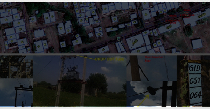
Asset survey is very important to find out what the assets are and where they are located. GIS-based asset survey brings all assets in a single platform which is helpful for developing and maintaining the infrastructure for long-term strategic planning.
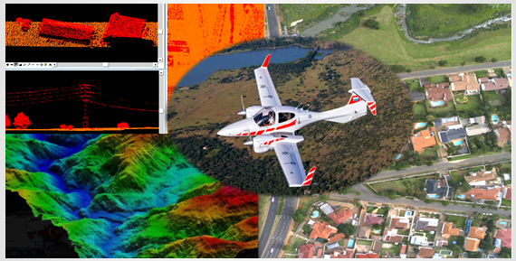
We use leading-edge technologies to deliver competitive, intelligent and innovative solutions. Our depth of experience facilitates solutions which are both cost effective and practical.
We are able to draw on an extensive range of resources providing depth of service and alternative solutions. We also offer a full support service to clients to leverage aerial data through Geographical Information Systems (GIS). Being customer focused, we actively assist clients to realize the potential of spatial data and the associated benefits.
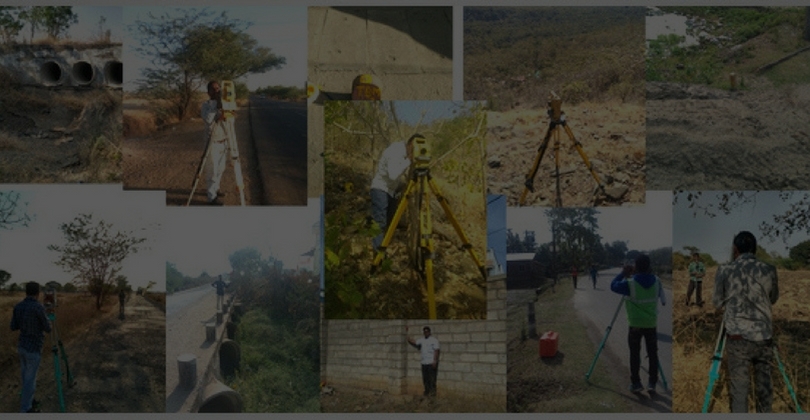
Our field surveyors are experts in conducting corridor survey, cadastral survey, ETS/GPS/DGPS survey, topography survey and more. We understand that the success of a project depends on the accuracy of the data. Our experienced surveying team is well trained and equipped with latest survey equipment as per the requirements of the survey. GISC has a vast experience of carrying out the survey work in various projects in the government sector.
We are well versed with advanced technologies and instruments like online mapping using smart phones/tablets, ETS, GPS, DGPS, electronic distance meter for location identification and measurement of properties and more.
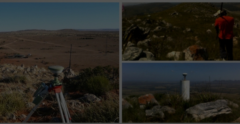
We have been awarded renowned projects where location accuracy in decimals is required. Our skilled surveyors are well versed in achieving accuracy for primary, secondary, tertiary and ancillary points using DGPS. These points may differ, based on the time duration given to the points.
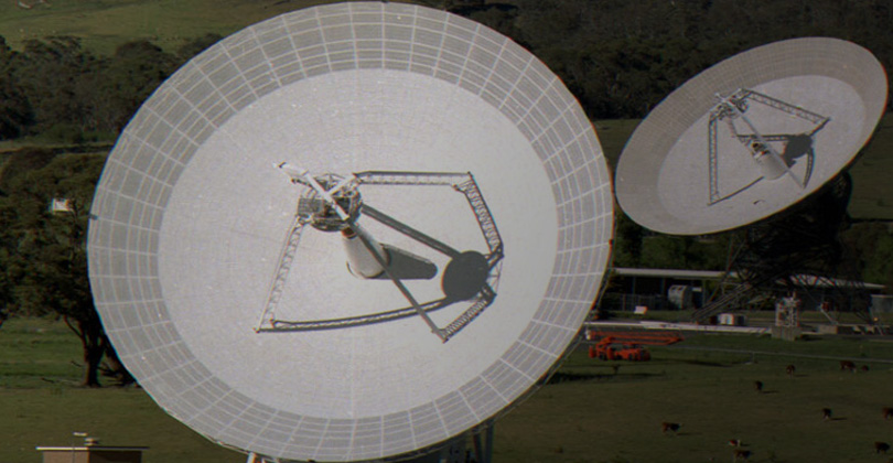
We have also worked to establish Ground Control Network, its monumentalism, and codification for each & every point.
GISC has been providing following services:
- Preparation of GCP grid of primary, secondary and tertiary points in image with IDs
- Searching location site for monumentalism in such a way that it should clearly come while acquiring image
- Establishment of Control Points as desired by the client
- GCP point with image put in GIS platform as a layer
- Aerial imagery acquisition and ortho-rectification of imagery using GCP network prepared
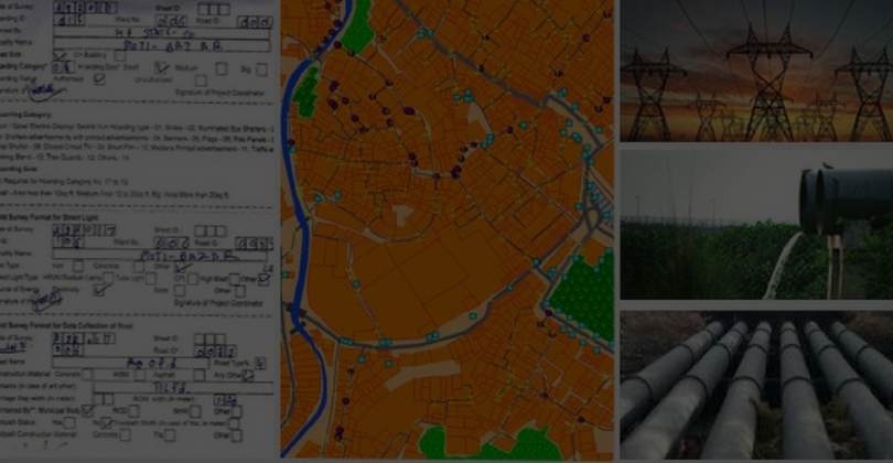
Utility services need an extensive accurate survey for long term planning. In the digital era, it is easy to manage the services as their accuracies increase by conducting surveys. We are experienced in undertaking HT and LT survey and identification of other over-ground and underground asset surveys.


