Image Processing
Let’s capture the world a bit differently!

Let’s capture the world a bit differently!

The activities include removal of distortions in images (geo-rectification, ortho-rectification) and ensuring that the output is of high quality in terms of clarity, resolution, and color.
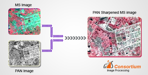
We also create value-added image products from satellite imagery, including pan-sharpened multi spectral imagery products, natural color pan-sharpened products, seamless mosaics for satellite images and land use/land cover mosaics for large areas.
We offer a wide range of services including:
