Urban Development Automation
Building better urban areas for a better nation

Building better urban areas for a better nation

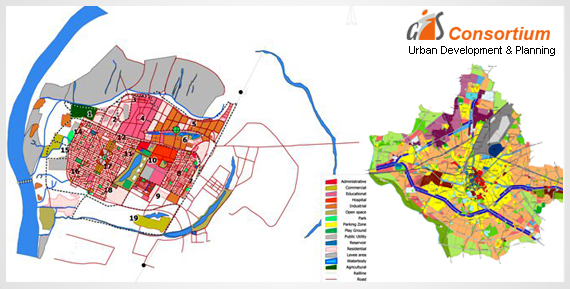
Our processes help facilitate infrastructure planning, monitoring, and management in a timely and cost-effective manner. GIS-based data provides baseline information on land-use/ land cover, topography, vegetation cover, water bodies and much more.
GISC provides expert advice and solutions for planning and administration of urban areas and optimizing tax-collection, thereby, assisting urban local bodies in municipal taxation, large scale maps, image processing, and data capture. We also provide property mapping and development of GIS based applications through bill generation, distribution and collection of property taxation systems and MIS report generation, 3-D city modeling , land-use/ land-cover changes for urban infrastructure planning and improvement & advanced terrain modeling (using high-resolution stereo satellite / Aerial / LiDAR data) for feasibility studies of infrastructure projects.