We have been involved in land revenue projects which require acquisition of fresh tasking resolution aerial imagery and satellite imagery.
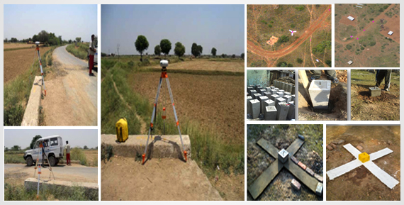
We have also worked to establish Ground Control Network, its monumentalism, and codification for each & every point.
GISC has been providing following services:
- Preparation of GCP grid of primary, secondary and tertiary points in image with IDs
- Searching location site for monumentalism in such a way that it should clearly come while acquiring image
- Establishment of Control Points as desired by the client
- GCP point with image put in GIS platform as a layer
- Aerial imagery acquisition and ortho-rectification of imagery using GCP network prepared