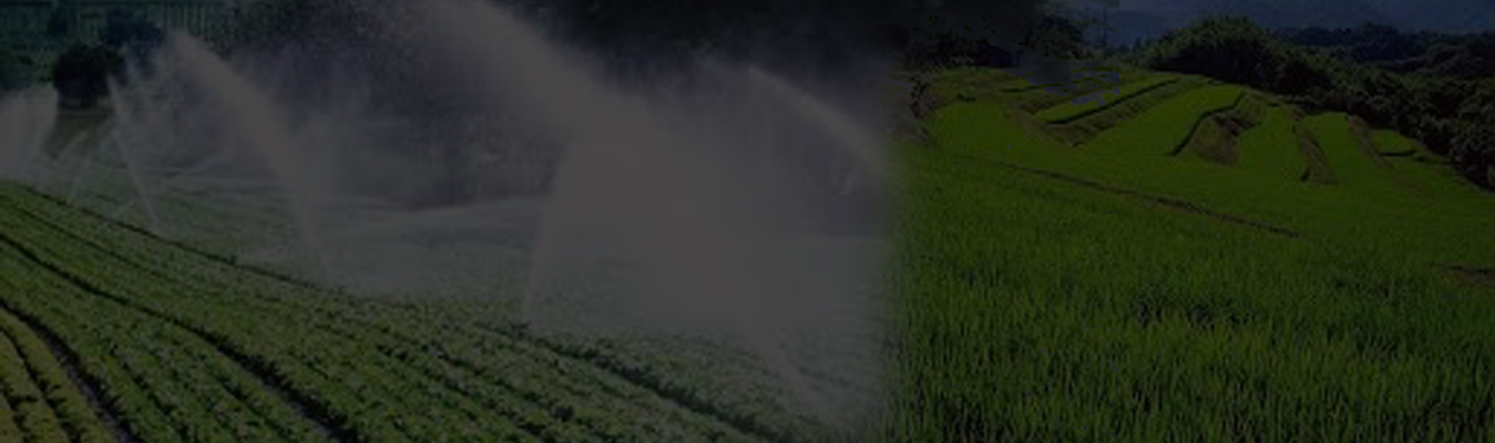
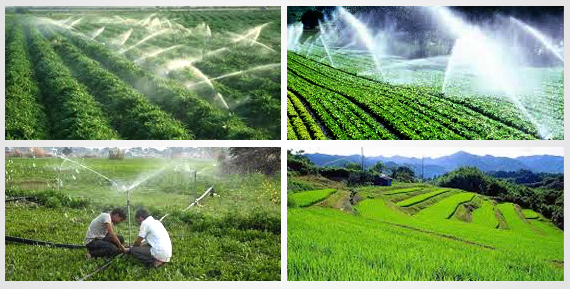
Agricultural & Irrigation
Discover a world of healthy agriculture, fascinating farms, and mesmerizing landscapes
Discover a world of healthy agriculture, fascinating farms, and mesmerizing landscapes
GISC takes advantage of the satellite and remote sensing technologies and maps not only for topography and crops but also for the help in developing elevation models for efficient drainage and levelling. These also help in managing and preserving the environment.
GIS mapping in the agricultural industry is vital to get accurate information of an agricultural landscape. We play an eminent role in the industry by helping farmers to increase production, improve understanding of farming areas, help promote agricultural development, and assist in identifying and handling issues important to strengthening the farming sector.
Our services and solutions can help in the following ways:


