Mapping & Planimetry
Exploit the endless opportunities that this data-filled world has to offer

Exploit the endless opportunities that this data-filled world has to offer

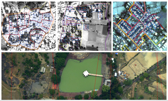
Planimetric maps develop natural features with correct coordinates & locations. These features include vegetation, fences, utility poles, drainage systems, pathways, road boundaries and more.
We generate images to either 2D or 3D formats. We also provide our services to clients with updated planimetric mapping by overlaying the original planimetry over the new imagery, which can be useful to identify the changes happening in the areas.