LiDAR Data Processing
Tap into the world of LiDAR mapping and know the Earth better

Tap into the world of LiDAR mapping and know the Earth better

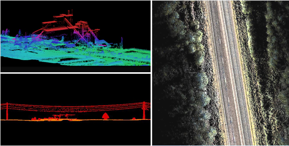
We perform rapid surveys over large land areas with accuracy and deliver data quickly. We have experts who conduct Aerial LiDAR surveys and aerial laser scanning surveys. We also have an in-house team of experienced data processing professionals. We provide a combination of solutions in LiDAR for carrying out wide area surveys for mines, forests, and cities. We have experience of conducting corridor surveys for power lines, roads, railways, coastline and pipeline.