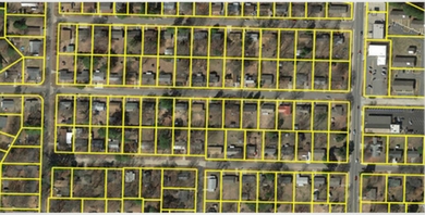
To achieve the objective, geographic analysis is the key to making better decisions. Monitoring rail systems and road systems can help in finding the best way to deliver goods and services, track fleet vehicles, and maintain transportation networks. We provide complete solutions for railway networks and asset mapping.

GIS is a technology that allows you to capture, manage, analyse and display spatial data for use in solving complex problems. GISC offers variety of services to telecom industries by providing accurate land base maps and mapping their optical access network.
It also builds understanding of overall telecom network creation process including data capture, network validation, data loading backed by work flow management systems, proven processes and quality management systems.

GISC has been involved in various prestigious government, ULB, DiLRMP, R-APDRP, utility and telecom projects.
GISC has years of experience in providing all kind of services required for urban development and planning with our highly qualified and experienced team.
- Conversion of engineering drawing into vector format
- GPS, DGPS, ETS survey for GCPS and asset mapping
- Planning map preparation
- Land use and land cover survey
- Consumer and door to door surveys
- Utility surveys like HT, LT lines, water –drainage pipeline establishments

We have been an extensive supplier of digital maps to BSNL (Bharat Sanchar Nigam Limited) for mapping Optical Access Networks across various cities in India.
We also carried out asset mapping work for various districts of the State Electricity Board of Uttar Pradesh and Gujarat. This service included intensive field survey, line, transformer and electric pole network services. We have conducted asset detection and GIS mapping of consumer indexing and electricity network for the same.


