Resources Industries
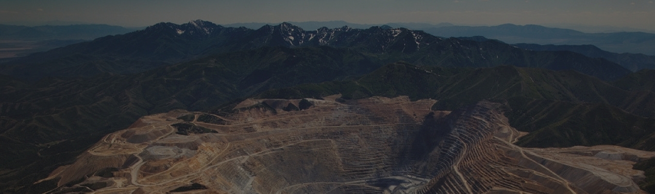
Creating a world that focuses on sustainable use of natural resources
Creating a world that focuses on sustainable use of natural resources

With the understanding of these factors, sound decisions can be arrived at, that will ensure sustainable use of natural resources to meet the needs of the present generation as well as future generations.
Some of the key resource sectors are:
Some of the key applications are:


