A full range of GIS, Mapping
& Imaging services

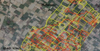
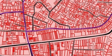
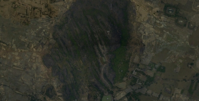
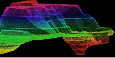
From surveys, and asset mapping, to integration & final
vectorization of images, we do it all.

GIS Services

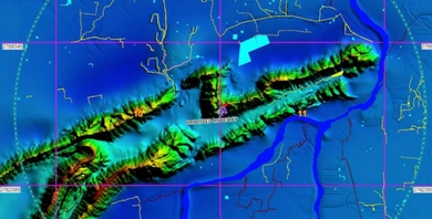
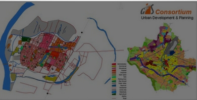
GIS Consortium India Pvt. Ltd is an Indian based technology driven emerging GIS services & spatial data provider for creative solutions in the areas of Digital Mapping, Data Conversion, Natural Resources Management, Land Information Systems, Urban Planning & Geographical Information Systems Applications.

Geospatial data is captured from different platforms and in various formats.…...

Data Conversion

Digital Elevation Model (DEM) is fundamental spatial data useful for carrying…...

DEM / DTM

Satellite images and aerial photographs provides regular coverage of earth’s surface,…...

Geo-referencing

Satellite/Aerial images form the base of GIS based applications Know about…...

Image Processing

Accurate 3D scans for effectiveness LiDAR mapping is an extremely economical,…...

LiDAR Data Processing

Use 2D & 3D images for effective planning Looking for a…...

Mapping & Planimetry

Analyse & map resources for a sustainable tomorrow GIS is a…...

Natural Resource Management

Digital Photogrammetric Mapping & Integration We are a leader in digital…...

Photogrammetry

Smarter property taxation for smart cities The Ministry of Urban Development…...

Smart City & Tax Reform Services

Let’s make content futuristic In this era of digital world, hard…...

Scanning & Digitisation

Revolutionising the way a region grows and develops Did you know…...

Urban Development Automation

Providing information to the masses An integrated knowledge of the telecom…...

Wired & Wireless Network Establishment  
Scroll Up