Land Records & Information
Focusing on nation’s development that rests on better land resource management
Focusing on nation’s development that rests on better land resource management
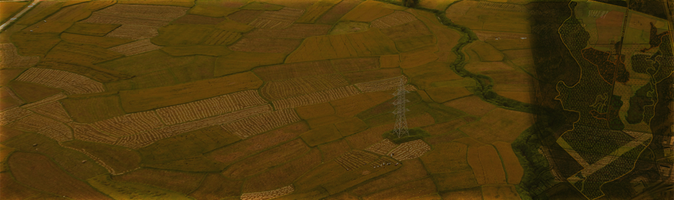
We are providing comprehensive land survey services across the country to support our client’s needs using advanced methodologies that are evolving with changing technologies and refined through our decades of experience in the area.
These services are being provided to several prestigious projects of the country like NLRMP / DILRMP (Digital India National Land Records Modernization Programme) of the Government of India for the states of Bihar and Madhya Pradesh. The services include Ground Control Points Monumentation, Aerial Image Acquisition /Aerial Survey, Image Processing and Updating Cadastral Maps using DGPS and ETS technologies which are being used for the first time in the country.


