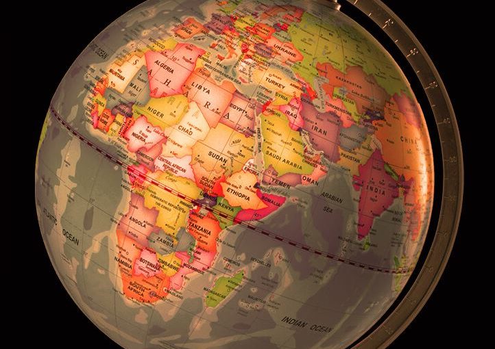

GIS Services is a technology specifically designed to capture, analyze, manage and present all types of spatial and geographical data.These services have aided national security and law enforcement as well. Several companies are reaping big benefits due to these GIS services. They rely on the data rooted in computer mapping and satellite imageries to leverage work efficiency, take strategic decisions and select a better consumer group and increase the efficiency of the business.
These services basically aids essential business functions such as marketing, logistics and strategic decision making. The company offering such services provides valuable support in defining business requirements.Also, industry policies and standards, database design and implementation, application development.
Services Providing Area
For Business
The GIS services uses technology to trace location.This is very useful in marketing and sales, logistics and transportation, human resource and other fields. It is well integrated with targeted marketing and market analysis, routing and logistics.
For Education
GIS is now a very important tool that helps the education department to send across the answers from local to global implications.
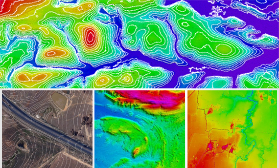
Natural Resources
This technology helps biologists, ecologists, environmental regulators, astronomers, and miners etc to make difficult decisions regarding the handling of the earth’s natural resources.
Government
Due to the improved decision making processes, as a result of GIS, service delivery and citizen management have become easier. As most of the data in the government is location-based.Thus, smoother operations can be expected.
Maritime
GIS technology also provides good assistance in mapping and charting in Aeronautic and Maritime fields. It immediately starts producing geospatial data and provides high quality products with tools in making and maintaining the results.It also tracks the status and progress of jobs through the complete cycle.