
Location: Noida/NCR but willing to work anywhere
Qualification:
Graduate / Post Graduate degree in GIS or related subject OR Any Graduate / Post Graduate with good understanding of basic GIS concepts, Maps and Location
Desirable:
Knowledge of superimposition of cadastral maps on satellite image, Knowledge of geo-referencing, Conversant with Open source and proprietary GIS / Remote Sensing Software
Capability:
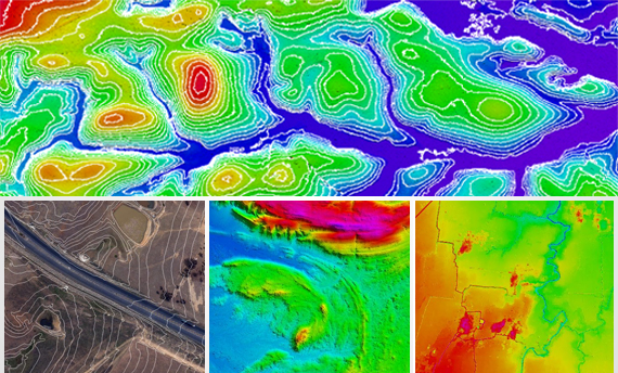
- Reading and Interpreting Maps and Images
- Heads up digitization
- Understanding digital land data
- Managing data entered into a GIS database
Job Description:
The day to day work will include the following or allied activities:
- Identification of Geographic Location of Maps based on information contained in them
- Georeferencing the Raster Maps
- Interpretation of on features based on backdrop raster
- On screen digitization of features interpreted from raster
- Data Entry from Field Survey Forms
- Digitization and Map creation based on Field Survey Data
- Ensuring Backup of daily work based on Project Policy
- Reporting daily output to Team Leader
- On requirement field verification of created Map Data at the site/ Location
Send in your detailed resume – hrd@giscindia.com