
Information Services
Accelerating progress through geospatial technology
Accelerating progress through geospatial technology
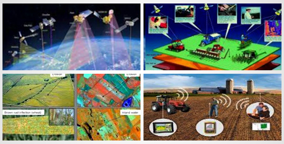
We have continually serviced the diverse needs of our clients through our focused, innovative, and efficient services in all areas of spatial technology and applications.
We serve the following industries with our quality products and committed services:


