
LiDAR is a commonly used application in high precision sensors in autonomous cars, photogrammetry and bathymetry but it is certainly not limited to it. Do you know that it can also be used in detecting and analyzing the natural disasters like landslides? Landslides lead to huge loss of life as well as property but what if it could be detected and prevented on time.
Lidar- A Tool for Geologists
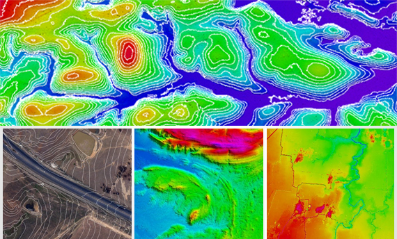
Geologists now use LiDAR as an effective medium to predict and thoroughly study landslides. Government and scientists have integrated the airborne LiDAR as a major component in disaster mitigation initiatives. Data which is gathered using LiDAR efficiently provides useful insights into geographical risk zones which contributes in the identification of vulnerable areas. One of the main advantage of using this technology is that it provides the images even under thickly vegetated areas along with other hidden details like extent of deformation, slope angle etc. All the above information validates that LiDAR is a valuable tool in landslide assessment.
Cutting Edge Analysis and Preemptive Data
LiDAR helps in getting even minute details and offers an inclusive view, the data is either collected by analyzing the terrain surface or by detecting change between the surfaces on a regular period of time. In prior, the surface features and associated properties are thoroughly analyzed to identify parameter values whereas the later focusses on detecting changes in surface movement and deformation. In both the methods, surface representation is assessed.
Disaster Mitigation
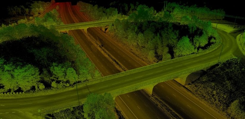
Combining LiDAR with GIS services improves the accuracy and quality of geological data. It enables geologists and disaster management experts to identify landslide prone areas. After marking a site, they start studying the underlying causes of landslide. LiDAR Data Processing reveals subtle surface details that can’t be captured by aerial photographs. The Geo Spatial Data has increased the efficiency of landslide observation a multiple time, which has raised the chances to mitigate landslide.