Geo-referencing
Don’t just convert hard copies into digital format.
Get them geo-referenced!

Don’t just convert hard copies into digital format.
Get them geo-referenced!
Satellite images and aerial photographs provides regular coverage of earth’s surface, but these are just like any other images or photos without having a geographic reference. Georeferencing of aerial imagery and georeferencing of satellite imagery build the geographic reference within the images. It actually relates the internal coordinate system of thesatellite image or aerial photo to a well-defined geographic coordinate system.
Georeferencing of aerial imagery as well as satellite imagery is fundamental for deriving meaningful information from the aerial and satellite images. The location reference that is built-in after georeferencing is key to all the spatial analytics that provides insights into the ever-changing dynamic activities that happens on earth surface.
The general process flow for georeferencing of aerial imagery and georeferencing of satellite imagery remains the same with few specific requirements of both aerial as well as satellite image georectification process.
Establishing the Ground Control Point (GCP) Network System is a very important part used in the process of georeferencing in aerial images as well as satellite images. It is also important for generation of 3D city models derived from stereo images.

The GCP Network (GCN) for georeferencing of aerial imagery requires more no of GCP’s compared to georeferencing of satellite images considering that the ground sampling resolution of aerial images is of very high. The ground sampling resolution of aerial images can go up to 2-3 cm while satellite images highest resolution till date is 30 cm.
With survey professionals equipped with knowledge and grounds-up understanding of setting up reliable GCN in the field, georeferencing of aerial as well as satellite images is one of our major forte since last 18 years.
Starting from deciding the optimal mix of primary, secondary, and tertiary points required for each project to setting up the desired GCN, georeferenced products from our company measures up to the international quality benchmarks and accuracy.
Our in-house multi-tier quality assurance and quality control system ensures that the georeferenced aerial and satellite image products satisfy the project needs and accuracy requirements.
The level of accuracy desired in georeferencing of aerial imagery and georeferencing of satellite imagery is different and our team is proficient in producing high quality accurate georeferenced aerial as well as satellite images.
Having delivered georeferenced aerial imagery and satellite imagery products to major national projects in India and abroad, our products catered to land management agencies, municipal authorities, utility companies. The requirement of highly accurate and precise georeferenced products for all these above sectors vouches for our quality products and their timely delivery.


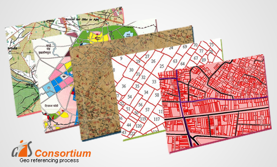
Further analysis or modelling requires data set to be correctly geo-referenced. Geo-referencing means assigning geographic coordinates to the spatial data. GISC offers all kinds of registration techniques.