

The socio-economic development of any country is based on the sustainable use of its natural resources – both land and water. Due to the recent increase in population, these resources are overburdened, often leading to resource depletion.
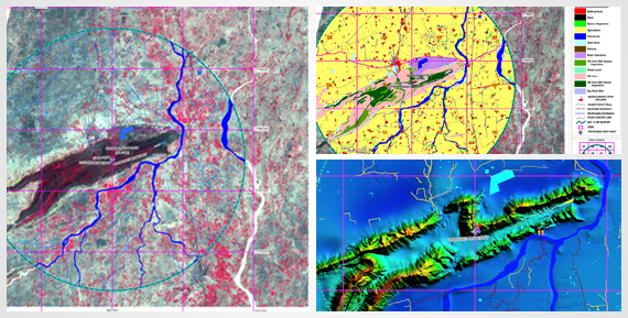
We are the experts in the area of efficient mapping, monitoring, assessing and managing natural resources. We have used high-resolution multi-date satellite imageries with GIS integration to analyze and facilitate decision mapping for effective natural resource management.