
News & Events
Remote Sensing and GIS Lab in Hyderabad inaugurated by Mining Major, NMDC
Remote Sensing and GIS Lab in Hyderabad inaugurated by Mining Major, NMDC
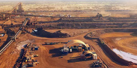
Recently, NMDC inaugurated the “Remote Sensing & GIS Lab” at Hyderabad on 02 May 2018. NMDC and NRSC (ISRO), Department of Space, Government of India joined hands through a MoU to Promote Space Applications in exploration and other mining activities for “Satellite Based Geological Mapping and Multidisciplinary Exploration of Iron, Diamond and other mineral deposits”. It is a major step forward towards “Digital India” as Space Technology provides real – time data for generation of digital maps.
The Remote Sensing and GIS Lab has two Licences, “ERDAS” and “ARC-GIS” software along with high end “Workstations”. NMDC will utilize the facility for exploration and would fully go “DIGITAL” in the areas of exploration.
<!–more–>