

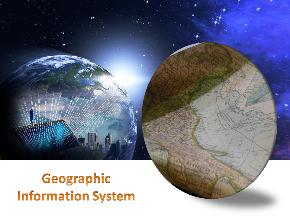
Geographic information Systems came as a boon for many industries allowing them to collect, manage and analyze data in a more efficient and quick manner. GIS is not a single system instead it refers to a number of technologies, processes and data collection methods. From engineers to transport and logistics, planning, management and businesses all can use GIS systems for various needs.
Like anything related to the world of information technology, GIS too is a system that is evolving and upgrading on a regular basis. For industries using this service it is important to know what new is coming up and how can they benefit from it. To help in this here are a few major trends or updates to look forward to this year-
Trends Updates Of Geographic Information System
- User interface may improve especially when it comes to accessibility on smart phones. It is predicted that more efficient and task driven may soon come up
- GIS integration might become more easy and efficient. You might be able to connect this system with other software for better data gathering and sharing
- Cloud computing may be the biggest update and addition in the GIS spectrum. There are many great options that cloud can provide including security and storage capabilities.
- The GIS industry trends for open source software, open data and standards is bound to continue this year
- Drones regulations have come up in many places who know what changes we see this year, while there may be some ease given for GIS needs
-
Looking ahead there is a lot more that can come up in this world of GIS and before any business starts make use of this technology there are a number of things it needs to consider and be ready for.
