Applications of GeoReferencing
GeoReferencing is the method of assigning the real-world coordinates to each pixel of the raster. Usually, these coordinates are obtained by doing proper field surveys and collecting coordinates with a… Read More »
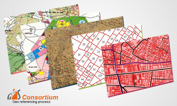

GeoReferencing is the method of assigning the real-world coordinates to each pixel of the raster. Usually, these coordinates are obtained by doing proper field surveys and collecting coordinates with a… Read More »
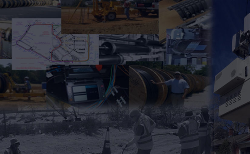
GIS Services is a technology specifically designed to capture, analyze, manage and present all types of spatial and geographical data.These services have aided national security and law enforcement as well.… Read More »
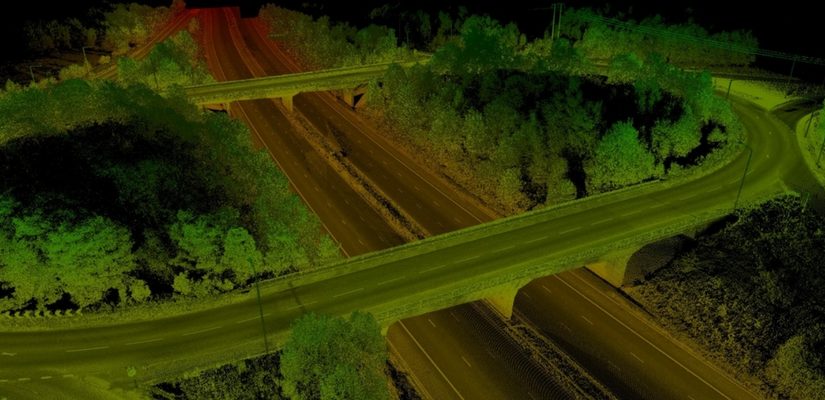
The use of lidar data processing has erupted in recent years, for many good reasons. The Lidar technology helped in producing higher-quality results than traditional photogrammetric techniques that cost low.… Read More »
Geo referencing can be understood as the process of conveying real coordinates to the spatial data. It assigns coordinates to the pixels of raster images. Common frames and coordinate systems… Read More »
The Digital India Initiative is at full flow and with it many projects have come up. India is on a path of digital transformation and Geographic Information Systems have found… Read More »